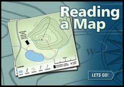
Click the image on the left to practice reading a topographic map. Topographic maps use contour lines to show elevation of land. They are useful in understanding how land changes. Be sure you know these vocabulary words:
- Elevation: height above a certain level, i.e. - sea level
- Contour Lines: a line on a map joining points of equal height above or below sea level
 RSS Feed
